|
| *****SWAAG_ID***** | 239 |
| Date Entered | 28/06/2011 |
| Updated on | 28/06/2011 |
| Recorded by | Tim Laurie |
| Category | Mining Related |
| Record Type | Mining |
| Site Access | Public Access Land |
| Record Date | 17/06/2011 |
| Location | Lover Gill |
| Civil Parish | Muker |
| Brit. National Grid | SD 878 963 |
| Altitude | 410m |
| Geology | Underset Limestone and Main Limestone series. |
| Record Name | Lead Mine at junction of Lover Gill with Cliff Beck. |
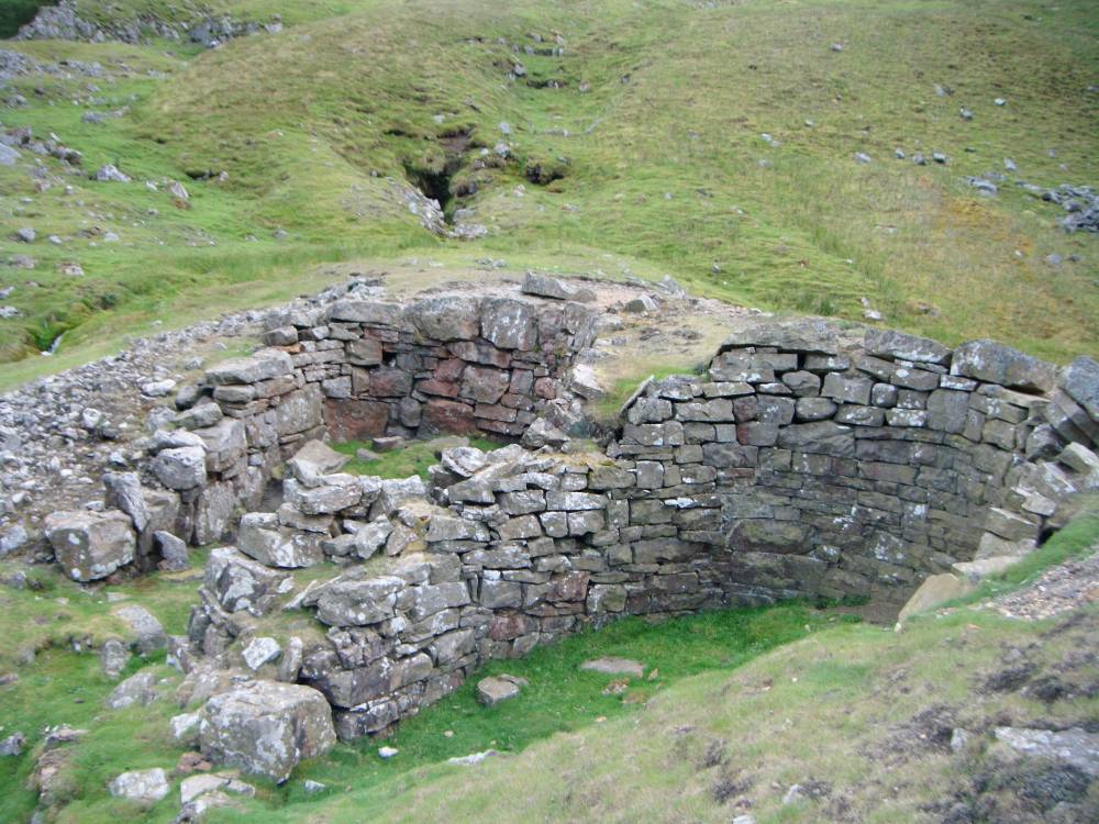
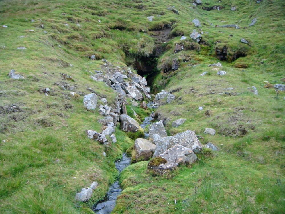
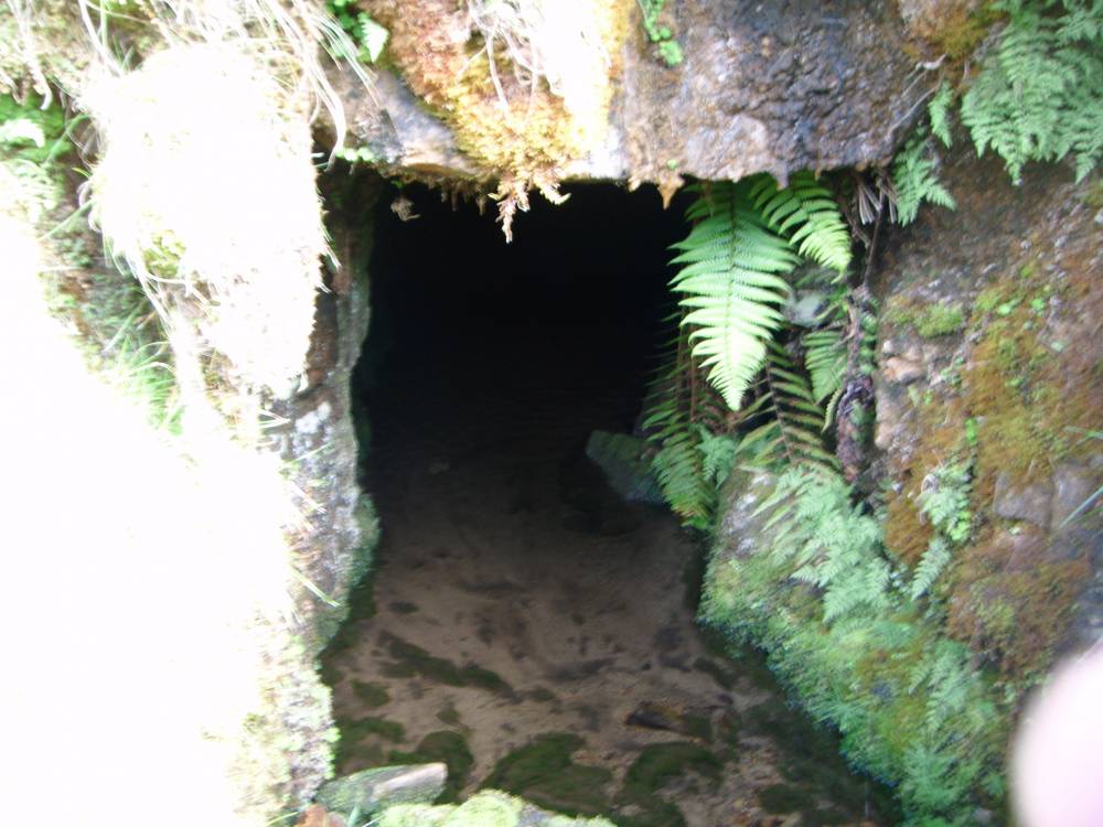
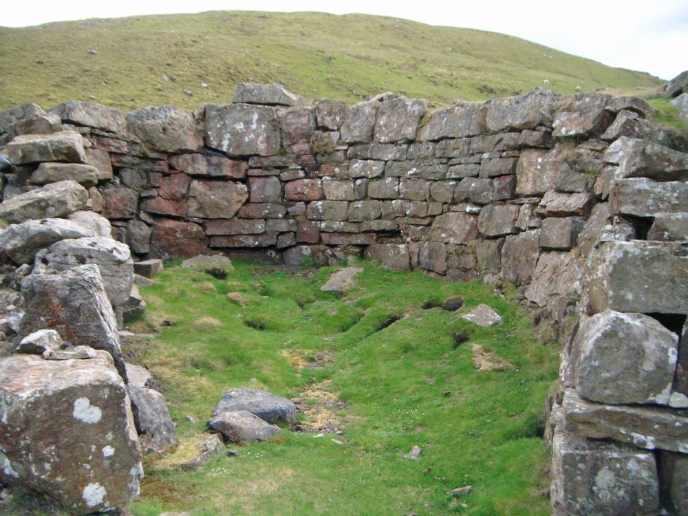
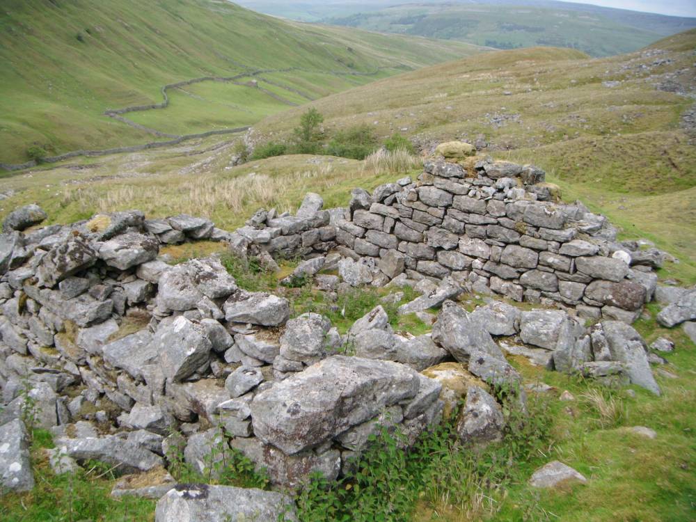
| Record Description | The remains of intensive lead mine activity here include the entrance to the
level,spoil heaps, bouse teams and a ruined mine shop. A further stone walled structure is to be seeen in the ravine above the mine which was probably also hushed or open cast mines. |
| Dimensions | N/A see photos |
| Image 1 ID | 868 Click image to enlarge |
| Image 1 Description | Bouse teams and entrance to the level | 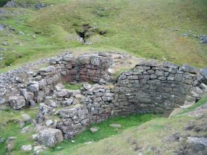 |
| Image 2 ID | 869 Click image to enlarge |
| Image 2 Description | The level. | 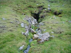 |
| Image 3 ID | 870 Click image to enlarge |
| Image 3 Description | The level | 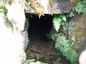 |
| Image 4 ID | 871 Click image to enlarge |
| Image 4 Description | Detail | 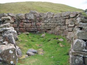 |
| Image 5 ID | 872 Click image to enlarge |
| Image 5 Description | Mine shop |  |